Tours & Safaris Tanzania
3 Days Mount Meru Trekking
Overview
Mount Meru may be a dormant stratovolcano positioned 70 kilometres (43 mi) west Mt Kilimanjaro inside Tanzania. At a height of 4,562.13 metres (14,968 ft) and is that the fifth highest mountain in Africa. Mount Meru is that the topographic centerpiece of Arusha park . Its fertile slopes rise above the encircling savanna and support a forest that hosts diverse wildlife, including nearly 400 species of birds.
BOOK / ENQUIRE NOW
Day by Day Itinerary
Explore a day by Day Itinerary below
- You’ll be collected from the airport.
- Accommodation before the tour starts can be arranged for an extra cost.
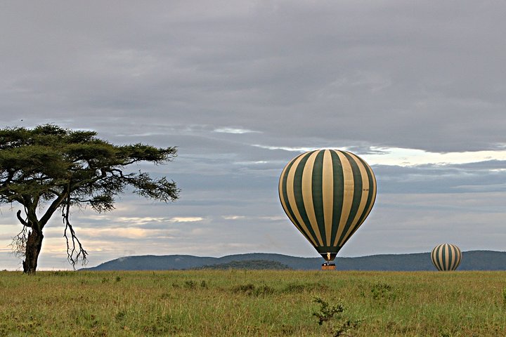
Start from Momella Gate {1’500 m.} in late morning, the track soon passes some open grassland, and have some game viewing. you’ll see Buffalo, Warthog, Elephants, etc. then continue as a mild climb through montane forest. you’ll get your lunch at the well-known “Fig tree”. After lunch the trek continues through less dense forest, where there are plenty of birds and monkeys including the black and white Colobus. By mid afternoon, there are the first closer views of the towering cliffs and thus the Ash Cone. miriakamba hut (2’514 m.), situated in idyllic grassy glade, is reached in time to enjoy the last of the afternoon sun and pleasant views over the encircling plains towards Kilimanjaro. It takes about 4 to six hours walking. Ascent is 1’014 m.
The walk from miriakamba hut to the saddle below little meru might be a brief day however a steep sustained rise all the means. beginning through enticing, open and plush elevation forest, the trail continues on the far side the halfway purpose of Elephant ridge and carries on uphill through the massive heather and different champaign vegetation to achieve saddle hut and lunch. The afternoon is free to rest and luxuriate within the views. For energetic ones, will build the short climb to the close summit of little or no meru for excellent views simply before sunset. It takes concerning three – five hours walking. The ascent is 1’056 m. saddle hut is like miriakamba however water is collected from a stream concerning ten minutes away. the trail might be a really little exposed because it traverses the rocky ridge, with fine views across into African country and thus the Maasai Hills. The summit is reached once 5–6 hours. The descent follows the high (it is tempting to travel down the other ridge to make a traverse; however this will be strictly forbidden)
An early start at around 0200 hrs to climb steeply to rhino point {3’800 m} the trail continues along an undulating ridge of ash and rock to achieve Cobra Point {4’350 m.} at around sunrise. The views are stunning: the cliffs of the Crater rim, the Ash Cone rising from the crater floor, Kilimanjaro floating on the morning clouds, and thus the valley if the weather is obvious. The summit of Socialist Pak {4’566 m} is an hour more on an outstanding but often steep path. The route back to Rhino Point within the sharp morning light along a narrow ridge between the sloping outer wall of the crater and thus the sheer cliffs of the inner wall is one of the foremost dramatic and exhilarating walks in Africa.
A fast descent through open grassland and mixed forest, with good chances of seeing wildlife. This trail has excellent views back towards the crater and over the plains of the park . Momella Gate is reached by late morning. It takes about 2 to three hours walking. Descent 1’014 m.


